
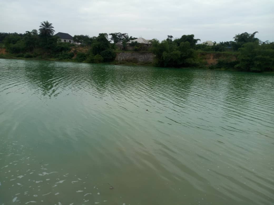
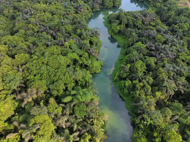
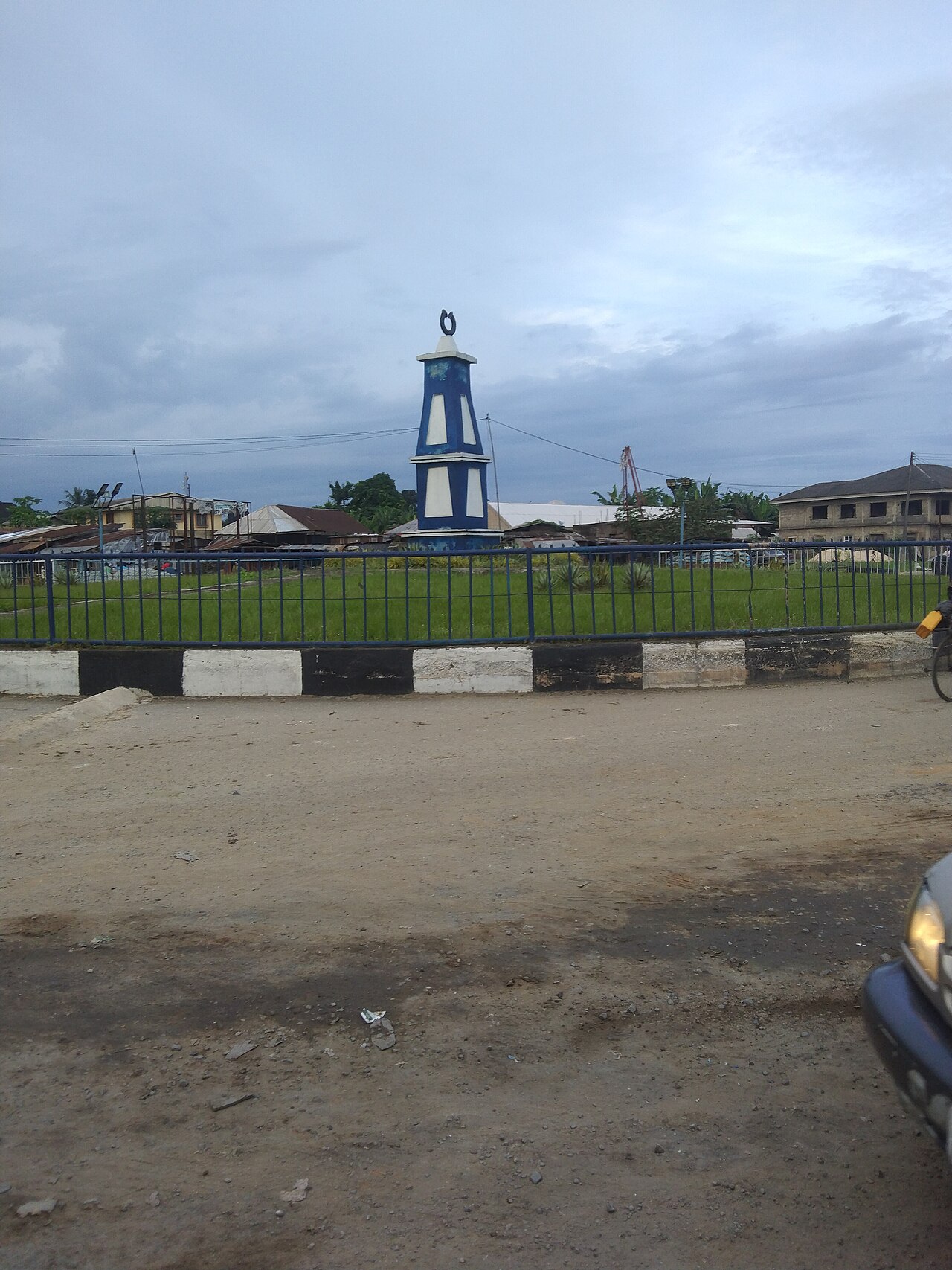
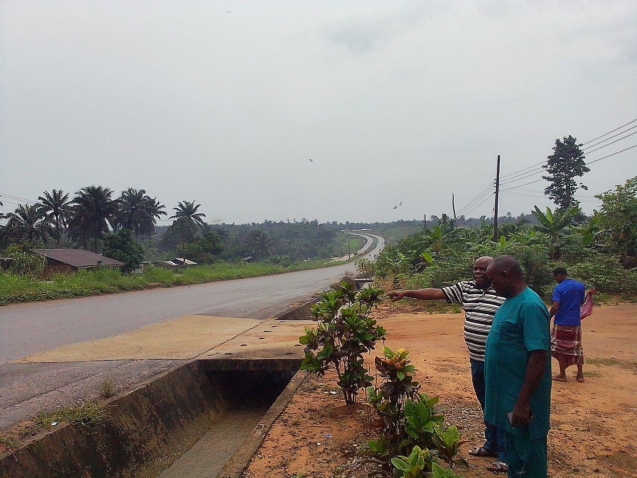
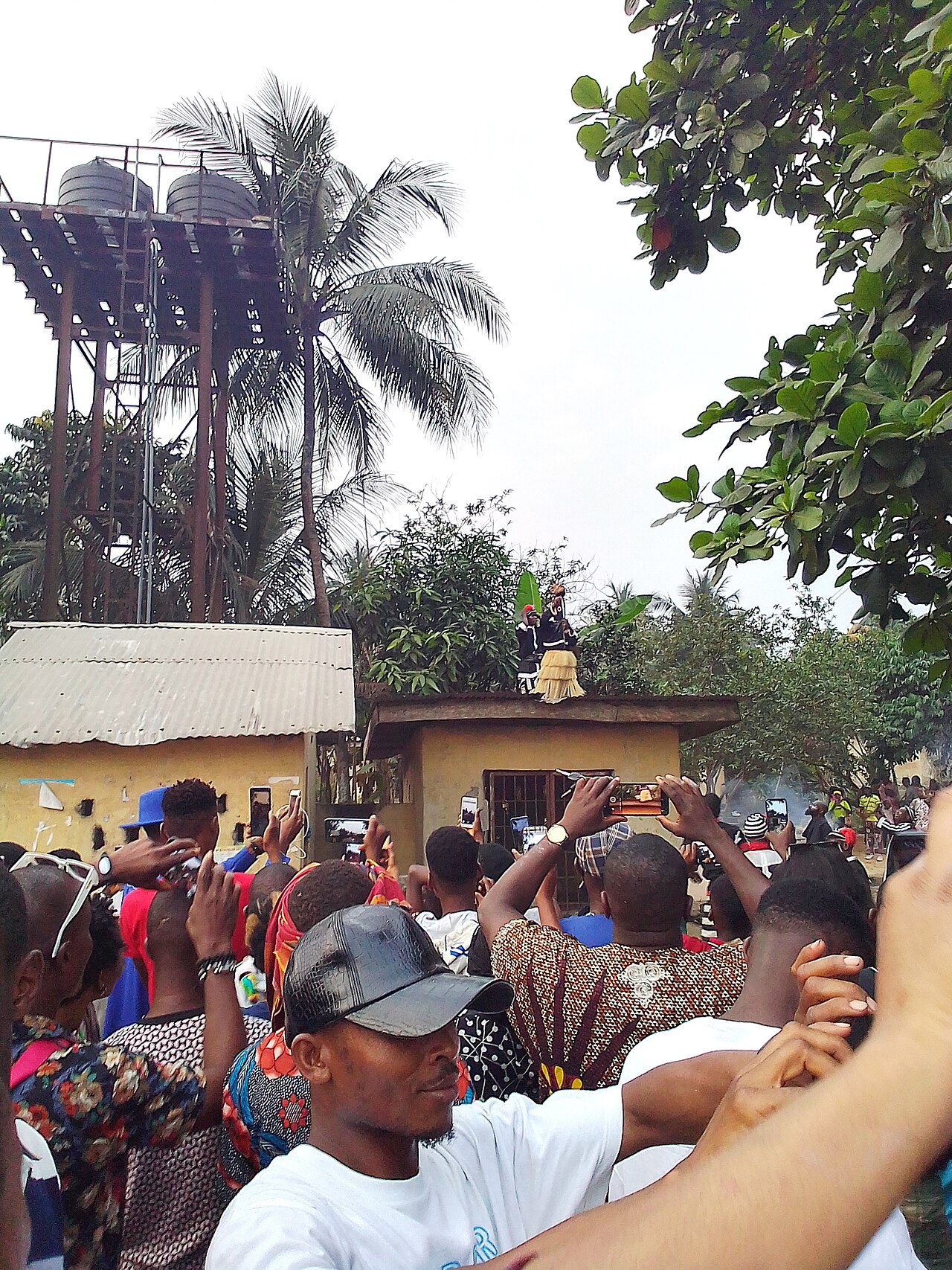
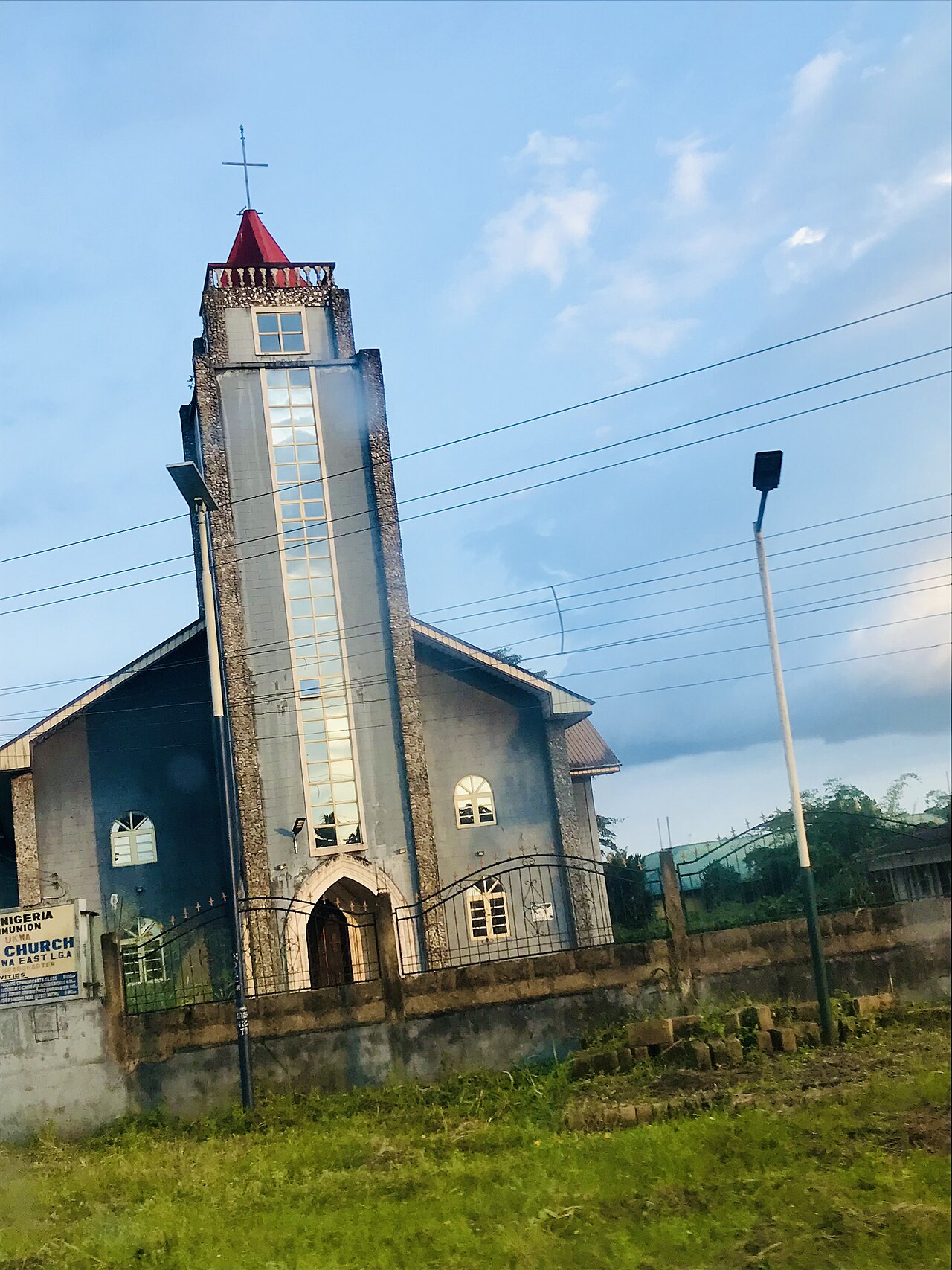
Ukwa East is the riverine south-east of Abia, called Eastern Oil Land, with its headquarters at Akwete, ten political wards, and a border on Akwa Ibom and Rivers States. Its people are the Ndoki, and its two famous things are water and cloth. The Azumini Blue River joins the Imo River and reaches the Atlantic through Akwa Ibom, and the reference record calls the river an ancient slave-trade route, known locally as Mini-Okigo. The community's Nwaotam festival is kept on the first of January. The cloth is Akwete cloth, woven by the women of Akwete on the upright loom, and the entry for it stands beside this one. The Ekpe society here has governed as much as it has performed, and St Peter's church at Obohia stands among the churches the Niger mission left behind. Photographs, via Wikimedia Commons: The Azumini Blue River - George2164, CC BY-SA 4.0. The Azumini Blue River - Onyekachi John, CC BY-SA 4.0. Azumini-Ndoki, Ukwa East - Andikan Efiok Eduok, CC BY-SA 4.0. The Azumini road, Ukwa East - Dalli Gozie K., CC BY-SA 4.0. A crowd at the Nwaotam festival, Akirika - Dalli Gozie K., CC BY-SA 4.0. St Peter's church, Obohia, Ukwa East - Wilhelmmarvel, CC0. Licences: https://creativecommons.org/licenses/by-sa/4.0/ https://creativecommons.org/publicdomain/zero/1.0/
Its address is /culture/ukwa-east on www.buzzbuntu.com.