
Tourism · Visit plan
A visit plan for Uturu and the Isuikwuato hills
Uturu, Abia, Nigeria
A flexible starting point built from BuzzBuntu's published record. Confirm opening times, routes and local access with the community before travelling.
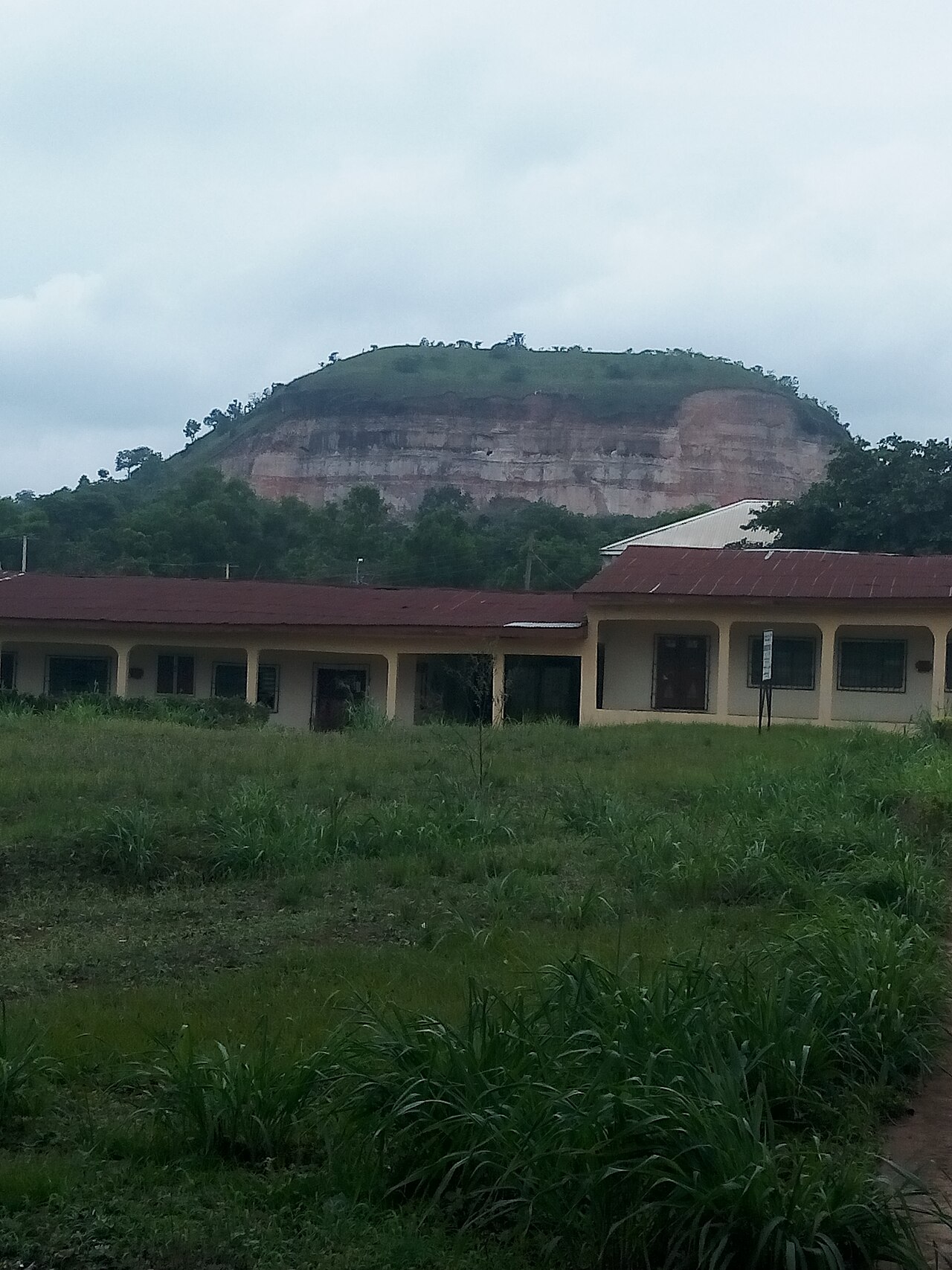
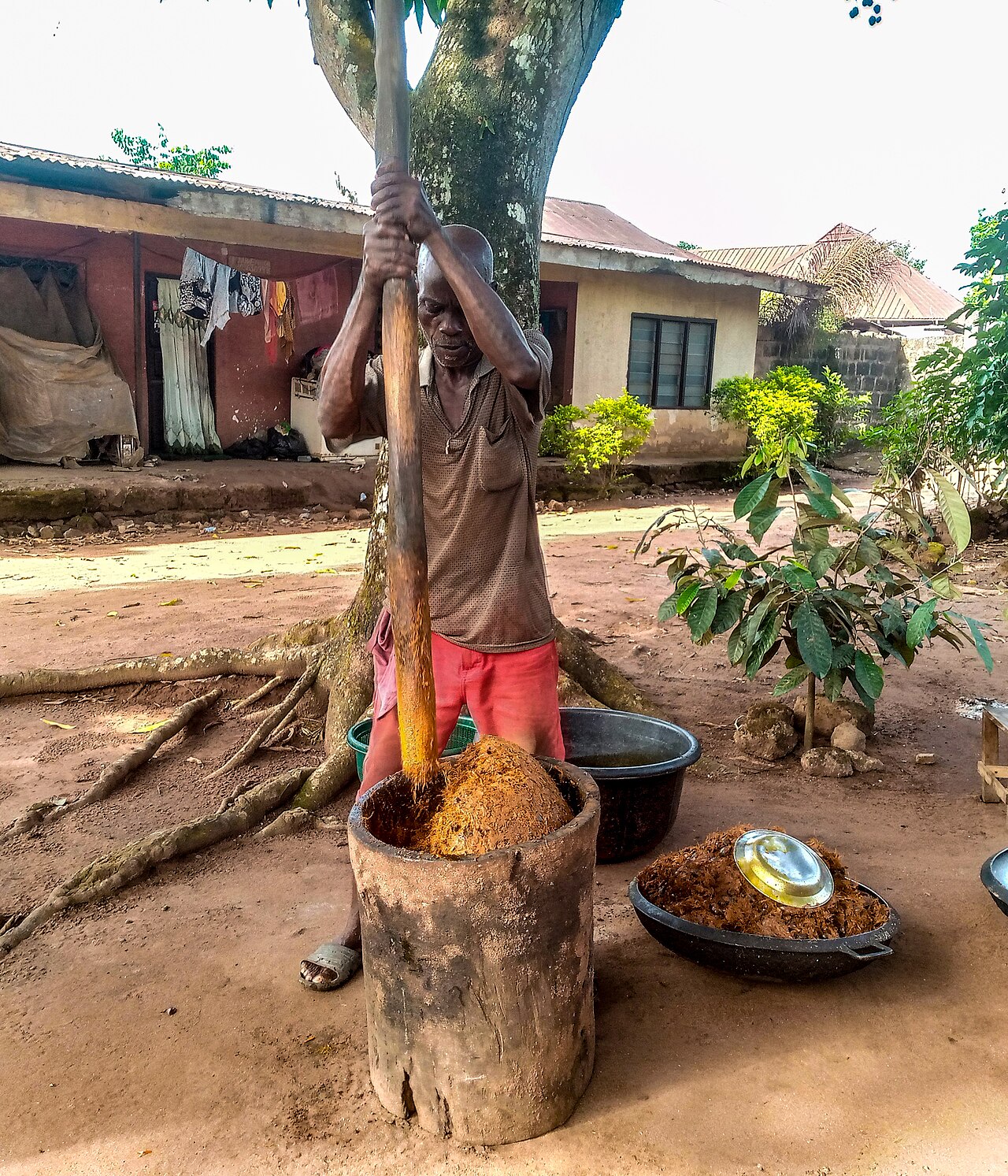
Isuikwuato is the cool upland country of Abia's north-west, on the road to Enugu, and its communities include Uturu, Umuobiala and their villages. Abia State University's main campus stands at Uturu, and the photograph in this gallery is of the hills above it. The people's own tradition places them in the Isu stock of Igbo groups, a claim of common descent with communities far beyond the state rather than a dated record, and the land around them is upland farm and quarry country: cassava, yam and palm on the slopes. There is a waterfall on the hills, recorded in the culture entry for Isuikwuato and the Isu; the community's account of where it is and how it is reached is not yet in this record, and the platform does not guess a route. Photographs, via Wikimedia Commons: The hills above Abia State University, Uturu - MaziIwu, CC BY-SA 4.0. Licences: https://creativecommons.org/licenses/by-sa/4.0/
Start here
The first things worth seeing when you arrive.
Stop 1
The hills above the campus
The upland the photograph is taken from, above Abia State University's main campus.
Stop 2
Abia State University, Uturu
The university whose campus gives the town its modern shape.
Meet the culture
Read the people, craft and heritage that give the place its context.

Then explore
The waterfall on the hills
The waterfall the culture entry records, whose access is the community's to describe.
Add nearby places
These published places share the same country and are ranked by city and region.
Before you go
BuzzBuntu does not currently have verified hotel, restaurant or tour-operator records for this place. Those will appear only when real business details have been verified; the platform does not invent prices, routes or availability.